
Why TrekMeet is my pick for group hikes in Australia
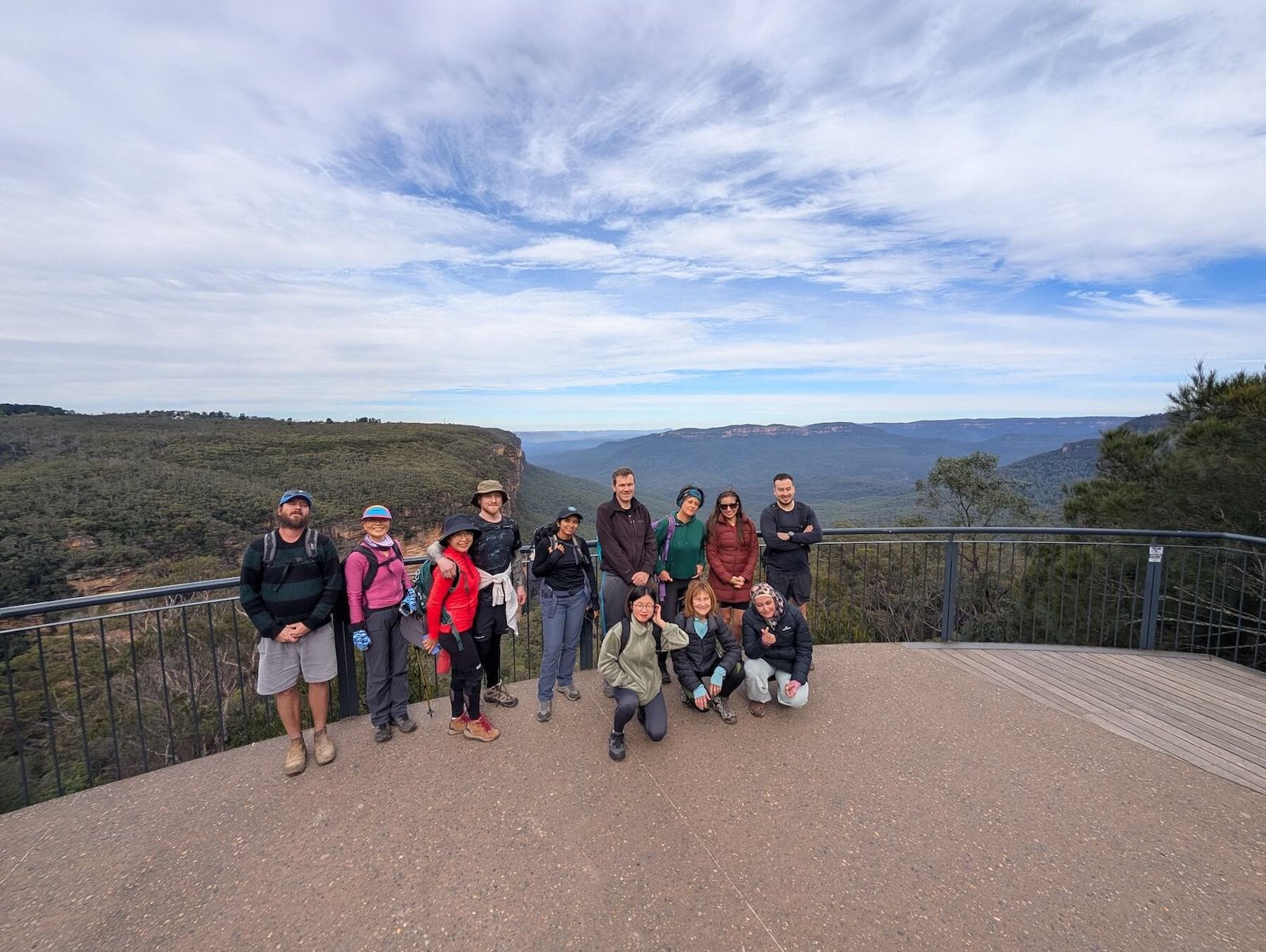
TrekMeet is my pick for a group hike in Australia. I’ve led more than 450 hikes and used plenty of apps to plan my own walks and lead groups with OZ Outdoors. I built TrekMeet around what I kept needing on those days: a meeting point everyone could find, a map I could take offline and one place to talk to the group.
The five apps at a glance
TrekMeet is my overall pick for bringing people together through outdoor experiences, especially on the group hikes I organise. I can create an event in my group and add the route. When we have reception, I can share my live location so attendees can follow me on the map. After the hike, attendees can save a copy of the route I share and choose which of my photos to keep in their own Journey. I can also follow people I meet on the day and invite them to become Trail Mates, all in the same app.
| App | My pick for | What you can do for free | Paid price in Australia |
|---|---|---|---|
| TrekMeet | Best overall for organising and leading a group hike | Join groups, RSVP and chat. Download maps from the trail library, follow the trail offline and add Trail Mates. | Explorer: A$35 for the first year on eligible purchases from 8 November to 31 December 2026. Standard price and renewal: A$49/year. Explorer terms |
| Meetup | Reaching people who haven’t heard of your group | Discover groups, RSVP to free walks and contact group leaders. | Meetup+ has an A$14.99/month option, or A$179.88 over 12 monthly payments. Check the annual-plan price in your account. Organiser plans are separate. Australian listing |
| AllTrails | Choosing a trail using photos and walker reviews | Browse the trail library, ratings and reviews. | AllTrails Plus: A$35.99/year is a listed Australian offer. Australian listing |
| Strava | Reviewing a Garmin recording and following fitness progress | Record and share activities and sync a Garmin walk. | A$14.99/month or A$99.99/year for an individual subscription. Australian listing |
| komoot | Exploring routes and planning your own | Browse and plan routes, with one free region for navigation. | Australian Premium listings include A$96.99 and A$99.99. The public listing doesn’t identify their billing periods. Check the annual offer in the app. Australian listing |
Australian prices checked 16 November 2026. Offers can vary by store and account.
TrekMeet brings the group and the walk together
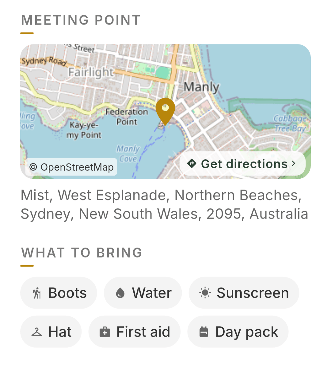
Twelve of us met at Manly Wharf for our North Head walk. I’d posted it on Meetup with a link to the TrekMeet event, and most of us used TrekMeet to RSVP. We met by the seashell sculpture outside the wharf. That’s the kind of detail I want someone joining for the first time to have on their phone, alongside a map pin, directions and the route for the day.
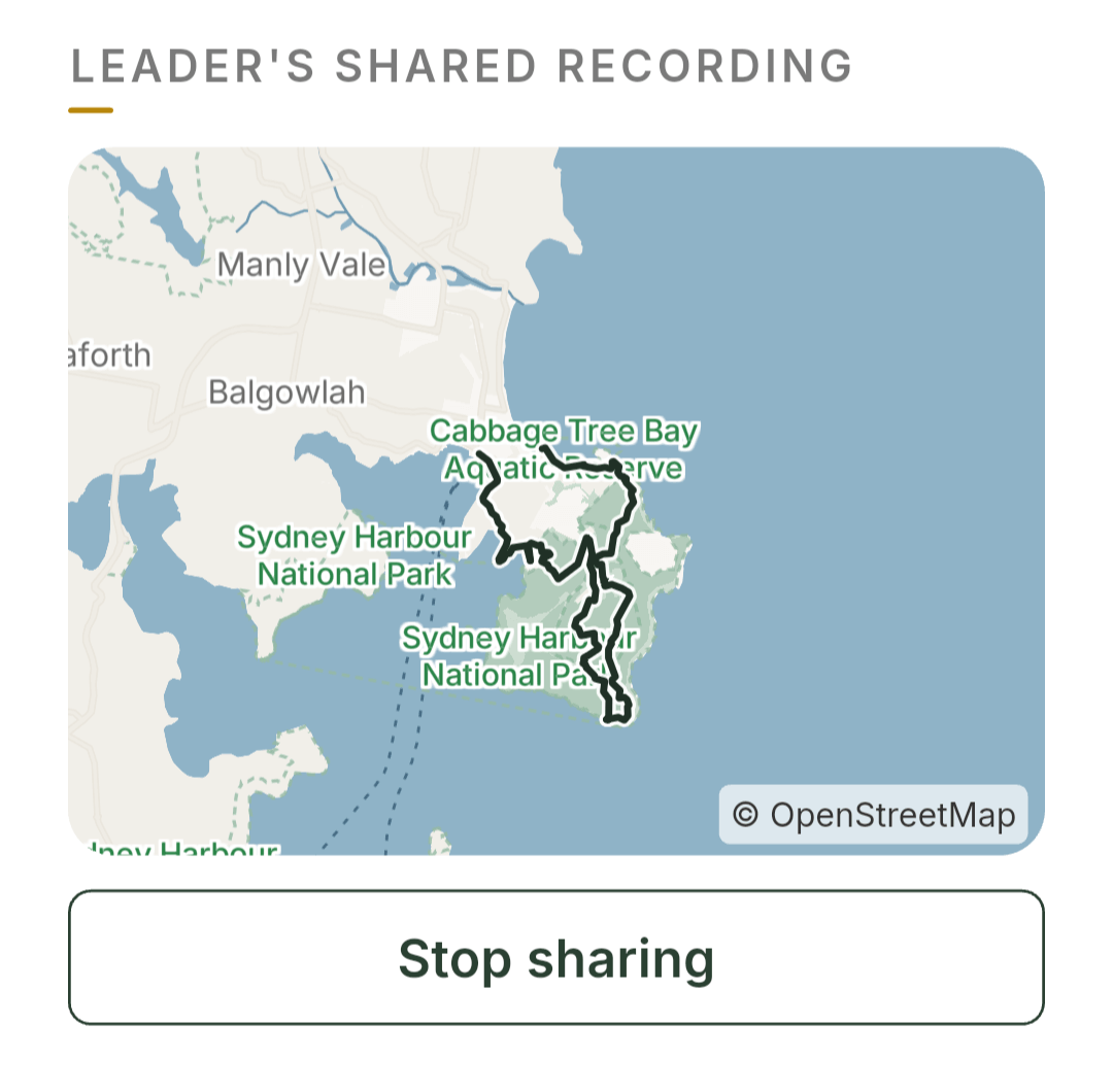
Before setting out, we could download the map and load the route on our phones. During the walk, one person was a little way behind us and followed my shared location in TrekMeet. Live updates need reception. Back at Manly Beach, my recording showed 10.8 km. I added photos to the event, and attendees could keep the shared route and the photos they chose in their own Journey. Our Manly to North Head walk
Explore the app on the TrekMeet homepage
Meetup helps new people find OZ Outdoors
Meetup reaches people around Sydney who might never have heard of OZ Outdoors. Over the years I’ve also seen quite a few groups close or move to other platforms. From what I’ve seen, the cost of running a group is one reason. For our own walks, I’ve sometimes had to show people how to skip the optional Meetup+ prompt when they RSVP.
I could add photos to the Meetup event, but I couldn’t attach one in its chat. Free members can message group leaders and reply to existing conversations. Seeing the full attendee list and starting new private chats with other members are generally paid features. Meetup’s guide to member access

AllTrails helps me choose a trail
I keep my AllTrails membership for the trail library. On our Ruined Castle hike I used it to check the route and read other hikers’ comments. The photos and ratings are useful when I’m deciding whether a walk will suit the group. I also like being able to export a route as a GPX file. AllTrails route exports
For Ruined Castle, I already had a recording from an earlier hike. I used it to create the offline trail we followed in TrekMeet. Our library now has 100 Australian trails, including ones I’ve built from my recordings. I’d like to see it grow to include more community photos, ratings and feedback. Our Ruined Castle walk
Strava is where my Garmin walks go
I record walks on my Garmin, which syncs to Strava. Afterwards I look at my route, distance, elevation and pace. I haven’t hosted a Strava club event. The organiser options looked basic for how I run OZ Outdoors, so I use Strava mainly for my own activity record. Garmin and Apple Watch sync are planned for TrekMeet. Garmin and Strava · TrekMeet’s roadmap
komoot gives me routes to explore
I use komoot occasionally. Around Manly I found several routes of similar length and had a hard time choosing one for the group. Once you’ve picked a route, you can invite people to follow it. Eligible outdoor groups can also show a komoot route preview on their Meetup event on the web. komoot group routes · Meetup’s beta route preview
Why I’d choose TrekMeet again
I’ll keep posting walks on Meetup so new people can find us. If you’re joining me for the first time and want one link for the day, I’d send you our TrekMeet event. You can find the group before we set off and the photos when you get home. Walk with OZ Outdoors on TrekMeet