
Malabar to The Rocks: two Sundays along Sydney’s coast
The walk from Malabar to The Rocks is one we come back to every year or two. I had originally planned to do it in one go again, but I was having heel pain from plantar fasciitis. This time, we split it over two Sundays.
Watsons Bay became our stopping point between the two walks. On 19 July, we followed the coast from Malabar and caught the ferry back to the city. A week later, we returned to the same wharf to continue around the harbour towards The Rocks.
Our Meetup plan used The Bloody Long Walk’s Sydney East route as a reference. That is the Mito Foundation’s organised event; these two Sundays were our own walks with OZ Outdoors.
19 July: Malabar, Coogee and Bondi
We started in Malabar and made our way north through Maroubra. At Coogee Beach, we stopped for a morning break and picked up some snacks from the food stalls.
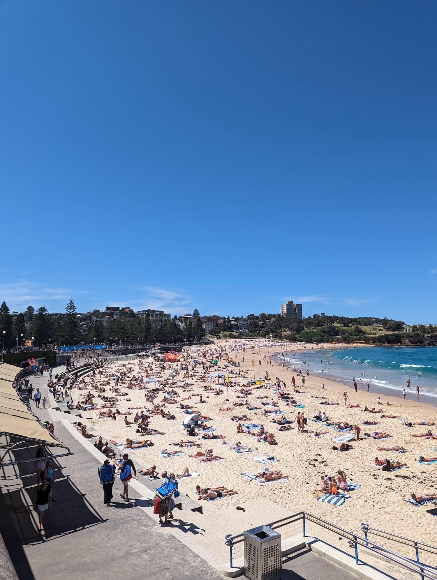
From there, we continued along the coast towards Bondi, passing the beaches and headlands along the way.
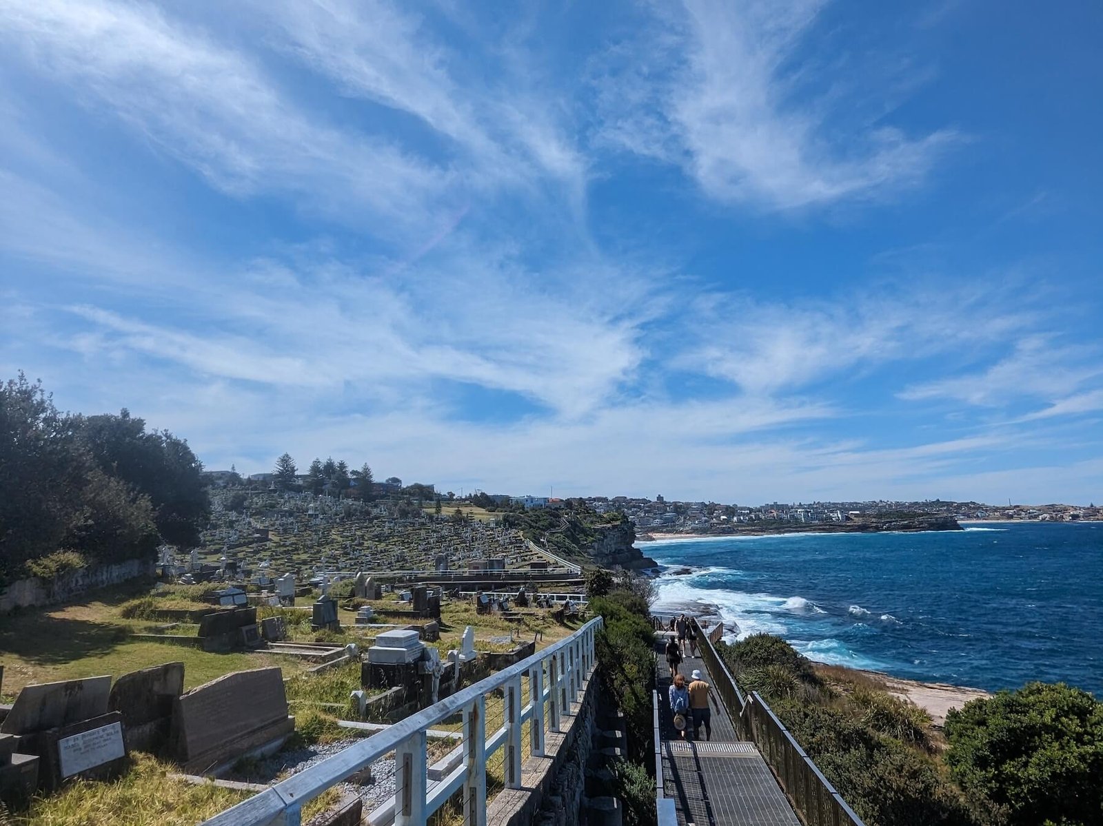
This part of our day included the popular Bondi to Coogee walk, just in the opposite direction. The boardwalk beside Waverley Cemetery is one of the scenes in the photographs, with the ocean below and the path continuing around the headland.
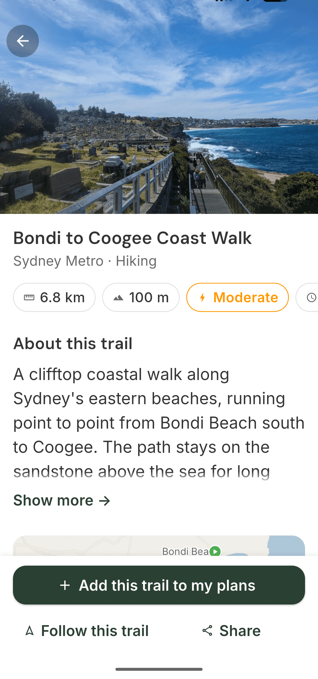
Bondi to Coogee is also available as a separate route in TrekMeet’s library. You can explore that section without taking on the whole Malabar-to-The-Rocks route.
Diamond Bay and the two lighthouses
Beyond Bondi, we continued north towards Diamond Bay. The route mixed coastal paths and boardwalks with streets connecting the different sections.
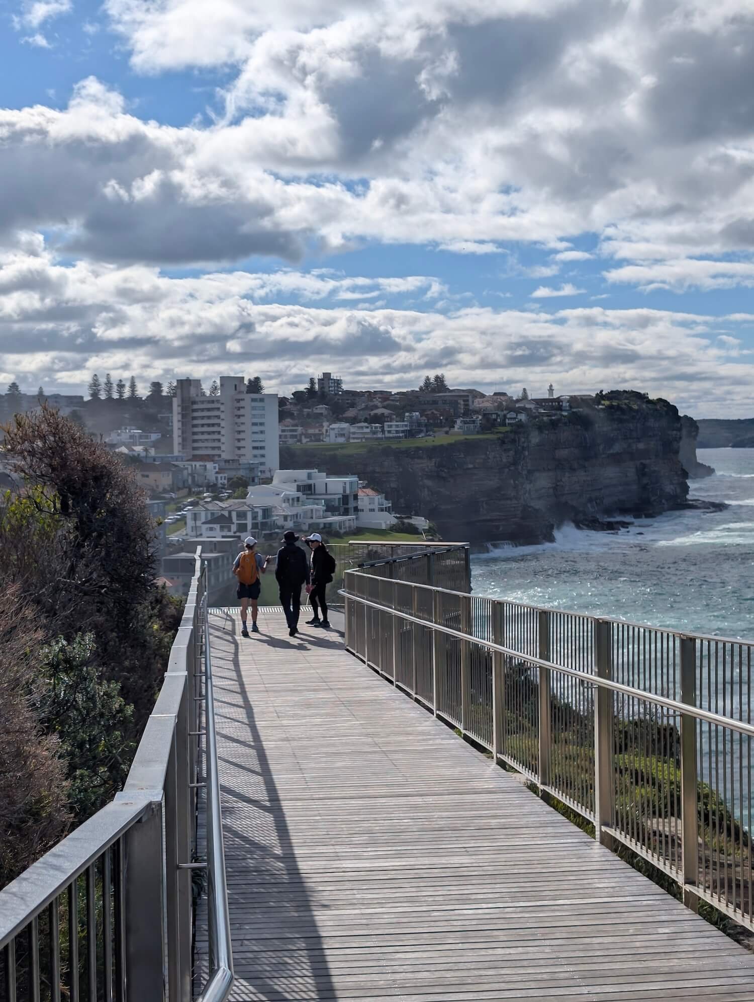
We passed Macquarie Lighthouse and also visited Hornby Lighthouse at South Head. They were two separate stops before we finished at Watsons Bay ferry wharf.
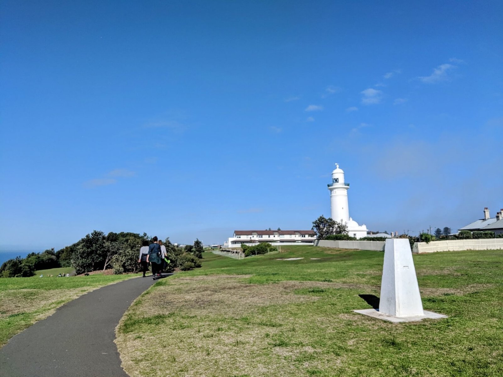
From there, we took the ferry back to the city. We would return the following Sunday to carry on from the same place.
26 July: Watsons Bay to The Rocks
A week later, we met again at Watsons Bay wharf. This time, our walk followed the harbour side through Rose Bay and Double Bay, then past Mrs Macquarie’s Chair towards Circular Quay and The Rocks.
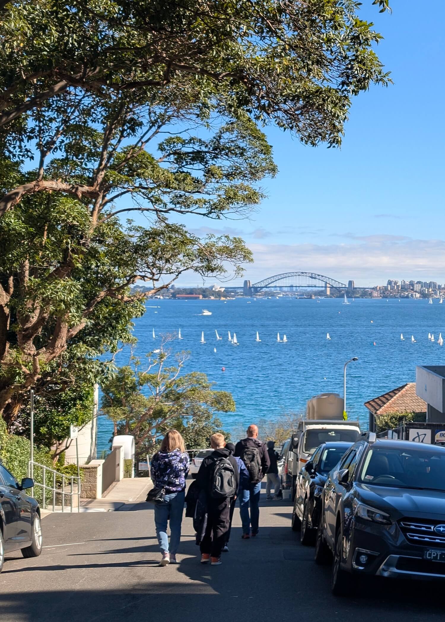
There were waterfront sections, stairs and streets along the way. One of the photographs shows the group heading down a street with the Harbour Bridge ahead, while the final photograph looks across the ferries at Circular Quay.
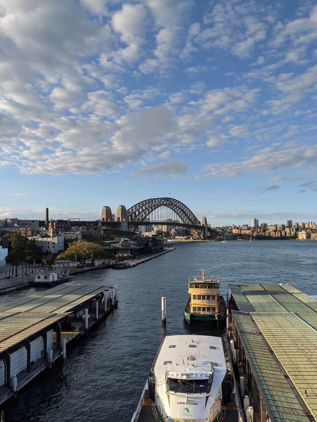
We finished in The Rocks with a pub lunch. The walk I had first planned as one long day had become two Sundays out with the group.
Finding the routes in TrekMeet
The longer route is listed in TrekMeet as Malabar to The Rocks – Ultimate Sydney Coastal Trek, with a reference distance of about 34.8 km.
The separate Bondi to Coogee Coast Walk entry shows about 6.8 km. I have included both library entries and the longer route’s map here so you can see how that familiar coastal section fits into the bigger walk.
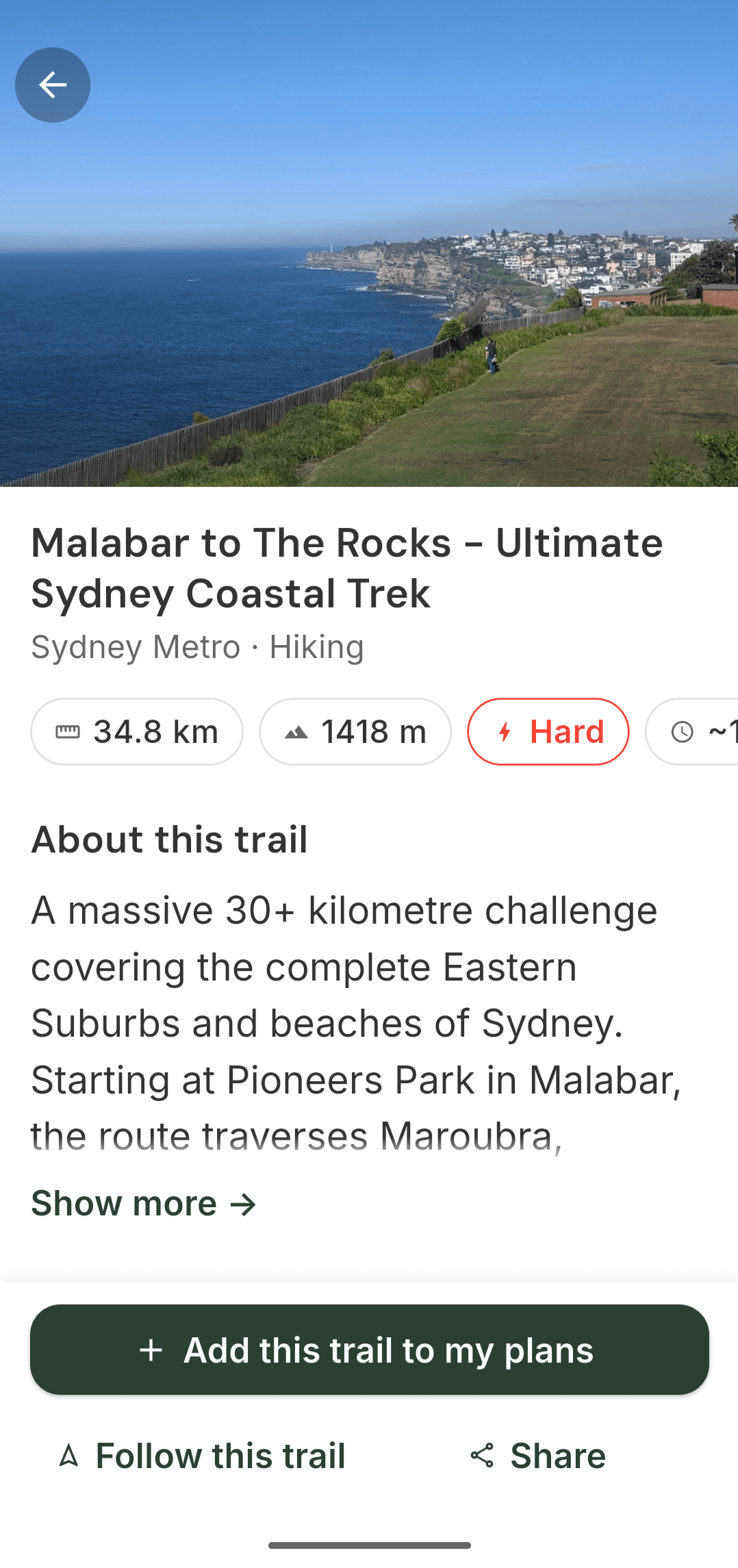
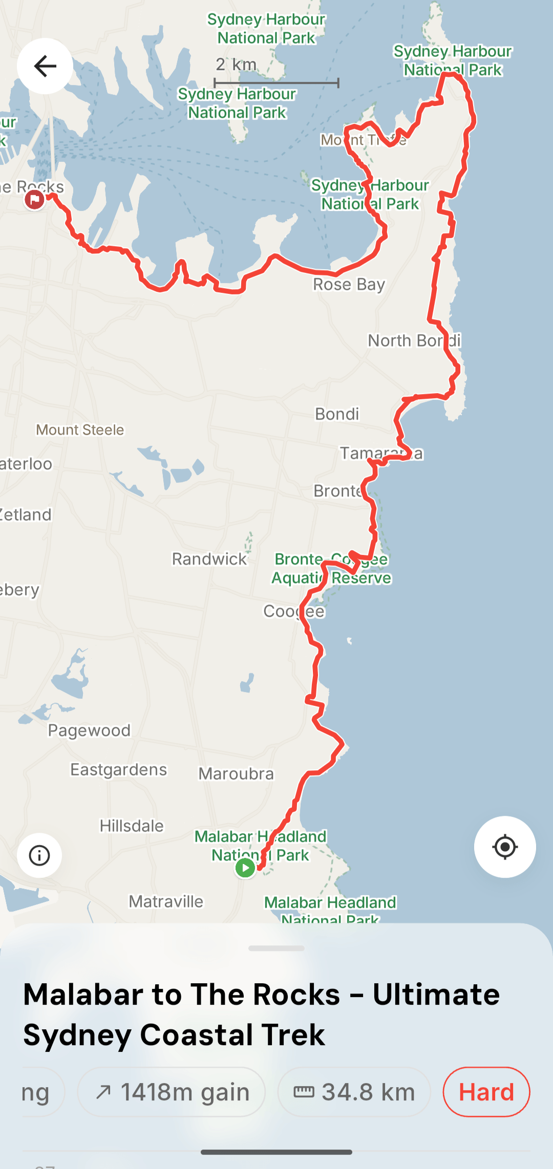
These screenshots show the library routes, rather than recorded totals from our two Sundays. If you plan your own version, check current track access and transport services, and choose the sections that suit your day.